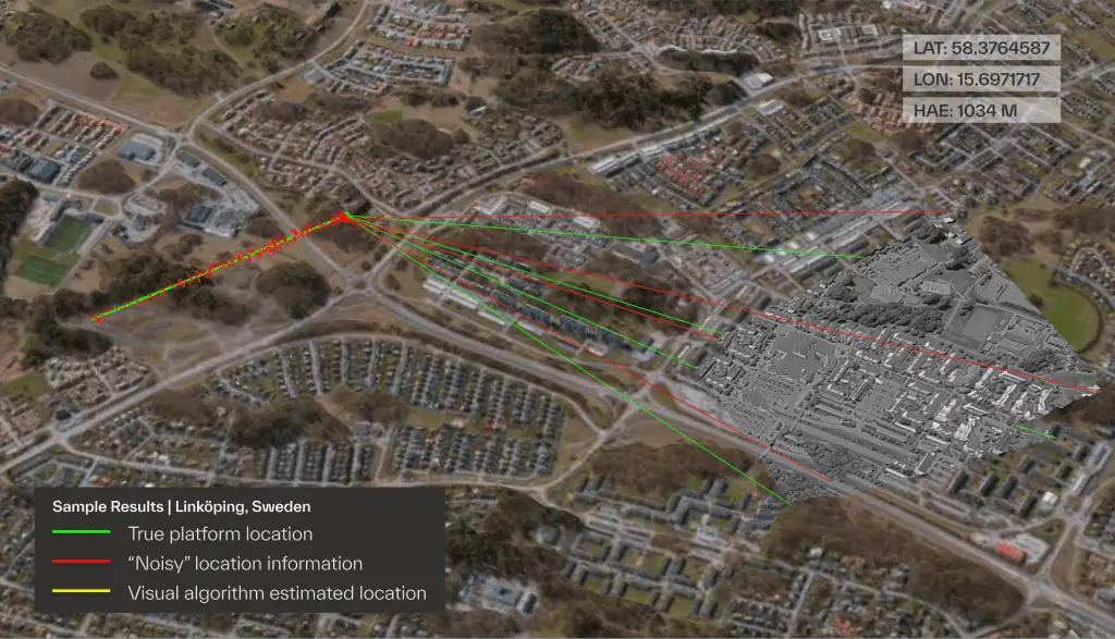
Taiwanese aerospace firm partners with Maxar on GPS-alternative drone navigation
The satellite imagery company’s Raptor software uses terrain mapping to guide UAVs when satellite signals are jammed or unavailable
The post Taiwanese aerospace firm partners with Maxar on GPS-alternative drone navigation appeared first on SpaceNews.
Published by SpaceNews on 09/19/2025